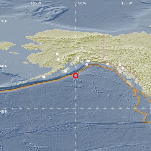
Gulf of Alaska
20/02/2018 06:18:56 (UTC) mb 4.3 0 Km

Localisation
- Gulf of Alaska
- Latitude : 55.87 °N
- Longitude : 150.06 °W
- Depth : 0 Km
Description
- Date : 20/02/2018 06:18:56 (UTC)
- Magnitude : 4.3 mb
- Phase count : 12
- RMS residual :0.74
Distance to nearest cities
- 592 kms of Anchorage
- 975 kms of Juneau
- 1005 kms of Fairbanks
- 1026 kms of Whitehorse
- 1263 kms of Prince Rupert
- 1363 kms of Terrace

