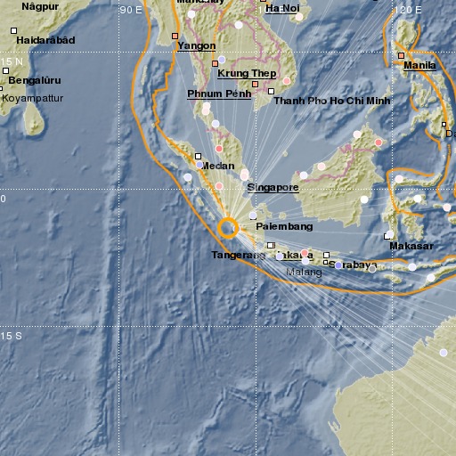
Southern Sumatra, Indonesia
26/02/2017 15:22:01 (UTC) mb 5.4 56 Km

Localisation
- Southern Sumatra, Indonesia
- Latitude : 4.25 °S
- Longitude : 101.96 °E
- Depth : 56 Km
Description
- Date : 26/02/2017 15:22:01 (UTC)
- Magnitude : 5.4 mb
- Phase count : 78
- RMS residual :1.22
Distance to nearest cities
- 59 kms of Bengkulu
- 108 kms of Curup
- 145 kms of Lubuk Linggau
- 182 kms of Lahat
- 207 kms of Tanjung Agung
- 245 kms of Baturaja

