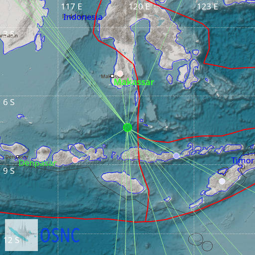
Flores Sea
22/10/2025 09:31:51 (UTC) mB 5 593 Km

Localisation
- Flores Sea
- Latitude : 7.39 °S
- Longitude : 120.07 °E
- Profondeur : 593 Km
Description
- Date : 22/10/2025 09:31:51 (UTC)
- Magnitude : 5 mB
- Nombre de phases : 21
- RMS résiduel :2.31
Distances des villes les plus proches
- 118 Km de Terang
- 124 Km de Labuanbajo
- 125 Km de Wae Mata
- 141 Km de Taga
- 142 Km de Dongang
- 142 Km de Hombel

