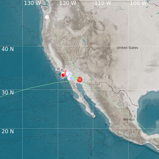
W. Arizona-Sonora Border Region
18/05/2024 19:45:55 (UTC) MLv 4.4 5 Km

Localisation
- W. Arizona-Sonora Border Region
- Latitude : 32.42 °N
- Longitude : 113.86 °W
- Depth : 5 Km
Description
- Date : 18/05/2024 19:45:55 (UTC)
- Magnitude : 4.4 MLv
- Phase count : 16
- RMS residual :1.94
Distance to nearest cities
- 39 kms of Wellton
- 79 kms of Yuma
- 82 kms of Somerton
- 84 kms of San Luis Rio Colorado
- 87 kms of San Luis
- 88 kms of Los Algodones

