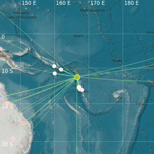
Santa Cruz Islands
29/11/2021 16:37:25 (UTC) mb 4.8 133 Km

Localisation
- Santa Cruz Islands
- Latitude : 12.55 °S
- Longitude : 166.56 °E
- Depth : 133 Km
Description
- Date : 29/11/2021 16:37:25 (UTC)
- Magnitude : 4.8 mb
- Phase count : 25
- RMS residual :1.06
Distance to nearest cities
- 219 kms of Lata
- 336 kms of Luganville
- 406 kms of Leviamp
- 607 kms of Port Vila
- 715 kms of Marakuru
- 717 kms of Kolohaumbi

