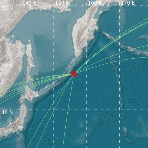
East of Kuril Islands
17/10/2021 17:39:12 (UTC) mb 5.2 19 Km

Localisation
- East of Kuril Islands
- Latitude : 47.8 °N
- Longitude : 156.17 °E
- Depth : 19 Km
Description
- Date : 17/10/2021 17:39:12 (UTC)
- Magnitude : 5.2 mb
- Phase count : 14
- RMS residual :0.4
Distance to nearest cities
- 319 kms of Severo-Kuril’sk
- 558 kms of Ust’-Bol’sheretsk
- 592 kms of Vilyuchinsk
- 606 kms of Petropavlovsk-Kamchatsky
- 619 kms of Yelizovo
- 626 kms of Razdol’nyy

