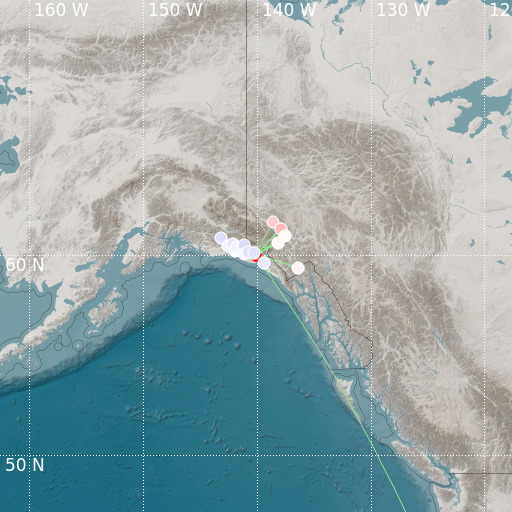
Southeastern Alaska
17/10/2021 16:06:44 (UTC) MLv 2.9 7 Km

Localisation
- Southeastern Alaska
- Latitude : 59.99 °N
- Longitude : 140.11 °W
- Depth : 7 Km
Description
- Date : 17/10/2021 16:06:44 (UTC)
- Magnitude : 2.9 MLv
- Phase count : 30
- RMS residual :0.7
Distance to nearest cities
- 166 kms of Squaw Creek
- 282 kms of White Pass
- 284 kms of Fraser
- 289 kms of Whitehorse
- 290 kms of Pennington
- 306 kms of Teepee

