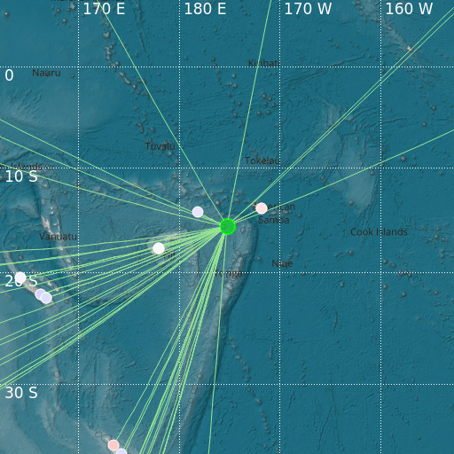
Tonga Islands
21/09/2021 04:42:49 (UTC) mb 4.8 351 Km

Localisation
- Tonga Islands
- Latitude : 15.69 °S
- Longitude : 175.26 °W
- Depth : 351 Km
Description
- Date : 21/09/2021 04:42:49 (UTC)
- Magnitude : 4.8 mb
- Phase count : 45
- RMS residual :0.88
Distance to nearest cities
- 285 kms of Mata-Utu
- 356 kms of Neiafu
- 395 kms of Salelavalu
- 396 kms of Lalomavoa
- 398 kms of Manase
- 399 kms of Fusi

