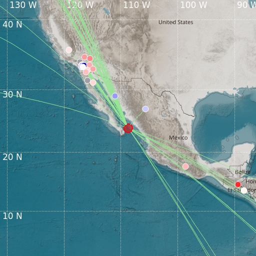
Gulf of California
04/04/2021 18:43:28 (UTC) mb 4.7 18 Km

Localisation
- Gulf of California
- Latitude : 23.98 °N
- Longitude : 108.75 °W
- Depth : 18 Km
Description
- Date : 04/04/2021 18:43:28 (UTC)
- Magnitude : 4.7 mb
- Phase count : 50
- RMS residual :2.58
Distance to nearest cities
- 95 kms of La Ribera
- 96 kms of Cabo Frailes
- 102 kms of Los Barriles
- 103 kms of Buenavista
- 113 kms of Santiago
- 124 kms of Miraflores

