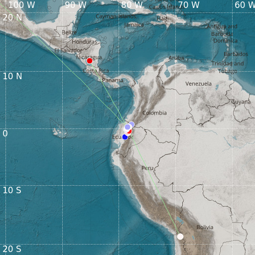
Colombia-Ecuador Border Region
26/01/2021 22:58:22 (UTC) MLv 3.4 51 Km

Localisation
- Colombia-Ecuador Border Region
- Latitude : 0.2 °N
- Longitude : 78.5 °W
- Depth : 51 Km
Description
- Date : 26/01/2021 22:58:22 (UTC)
- Magnitude : 3.4 MLv
- Phase count : 12
- RMS residual :2.41
Distance to nearest cities
- 24 kms of San Antonio de Pichincha
- 27 kms of Otavalo
- 28 kms of Cotacachi
- 35 kms of Atuntaqui
- 35 kms of Calderón
- 35 kms of Tabacundo

