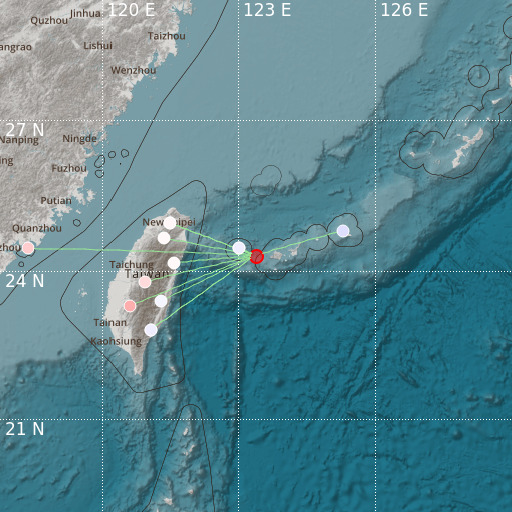
Southwestern Ryukyu Islands, Japan
20/01/2021 21:02:54 (UTC) MLv 3.9 18 Km

Localisation
- Southwestern Ryukyu Islands, Japan
- Latitude : 24.32 °N
- Longitude : 123.37 °E
- Depth : 18 Km
Description
- Date : 20/01/2021 21:02:54 (UTC)
- Magnitude : 3.9 MLv
- Phase count : 13
- RMS residual :0.92
Distance to nearest cities
- 40 kms of Yonaguni
- 80 kms of Ishigaki
- 157 kms of Su-ao
- 159 kms of Nan-ao
- 163 kms of 冬山鄉 (Dongshan)
- 164 kms of 五結鄉 (Wujie)

