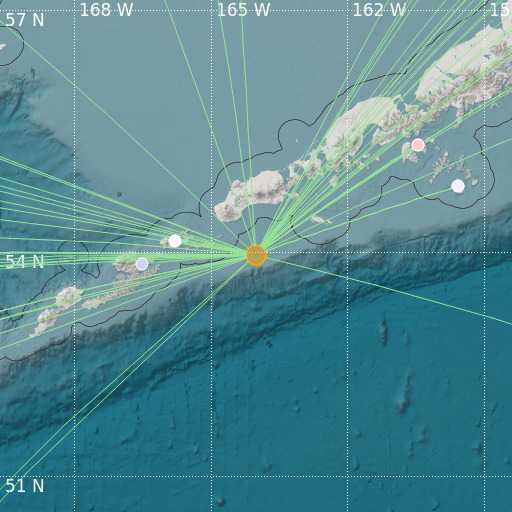
Unimak Island Region, Alaska
11/01/2021 07:19:05 (UTC) mb 5.3 54 Km

Localisation
- Unimak Island Region, Alaska
- Latitude : 53.95 °N
- Longitude : 164.02 °W
- Depth : 54 Km
Description
- Date : 11/01/2021 07:19:05 (UTC)
- Magnitude : 5.3 mb
- Phase count : 60
- RMS residual :0.67
Distance to nearest cities
- 772 kms of Bethel
- 839 kms of Kodiak
- 986 kms of Homer
- 1162 kms of Anchorage
- 1168 kms of Elmendorf Air Force Base
- 1173 kms of Fort Richardson

