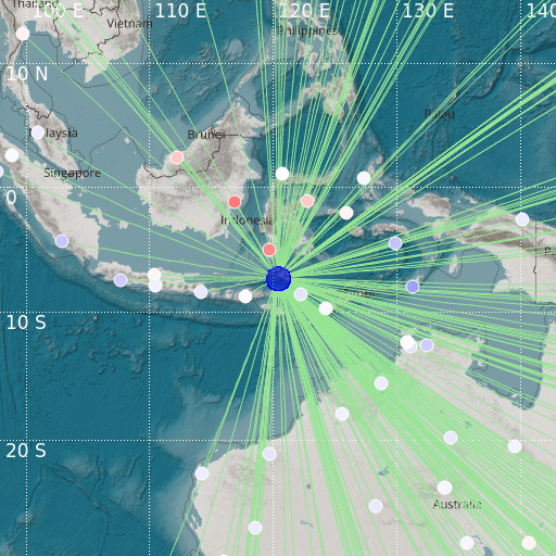
Flores Sea
11/01/2021 01:20:38 (UTC) mb 6 625 Km

Localisation
- Flores Sea
- Latitude : 7.28 °S
- Longitude : 120.37 °E
- Depth : 625 Km
Description
- Date : 11/01/2021 01:20:38 (UTC)
- Magnitude : 6 mb
- Phase count : 249
- RMS residual :0.79
Distance to nearest cities
- 134 kms of Terang
- 145 kms of Labuanbajo
- 146 kms of Riung
- 146 kms of Wae Mata
- 148 kms of Dongang
- 148 kms of Hombel

