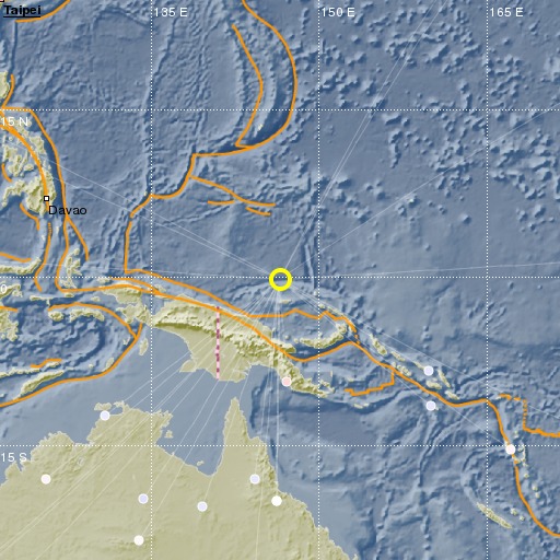
Admiralty Islands Region, P.N.G.
28/10/2020 22:47:38 (UTC) mb 4.8 162 Km

Localisation
- Admiralty Islands Region, P.N.G.
- Latitude : 0.21 °S
- Longitude : 146.5 °E
- Depth : 162 Km
Description
- Date : 28/10/2020 22:47:38 (UTC)
- Magnitude : 4.8 mb
- Phase count : 17
- RMS residual :0.59
Distance to nearest cities
- 491 kms of Wewak
- 563 kms of Madang
- 640 kms of Vanimo
- 665 kms of Goroka
- 692 kms of Jaya Pura
- 710 kms of Aberpura

