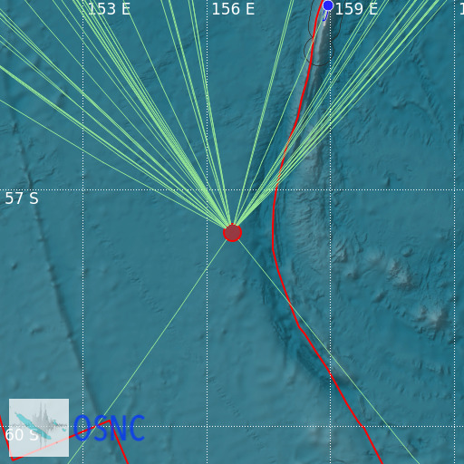
Macquarie Island Region
29/07/2025 00:21:18 (UTC) mb 5.2 10 Km

Localisation
- Macquarie Island Region
- Latitude : 57.56 °S
- Longitude : 156.61 °E
- Depth : 10 Km
Description
- Date : 29/07/2025 00:21:18 (UTC)
- Magnitude : 5.2 mb
- Phase count : 47
- RMS residual :2.56
Distance to nearest cities
- 370 kms of ANARE Station, Macquarie Islan
- 1453 kms of Bluff
- 1464 kms of Awarua
- 1466 kms of Riverton
- 1467 kms of Otatara
- 1467 kms of Woodend

