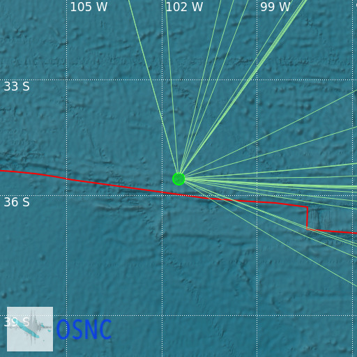
Southeast of Easter Island
08/05/2025 08:59:11 (UTC) mb 4.8 546 Km

Localisation
- Southeast of Easter Island
- Latitude : 35.56 °S
- Longitude : 101.48 °W
- Depth : 546 Km
Description
- Date : 08/05/2025 08:59:11 (UTC)
- Magnitude : 4.8 mb
- Phase count : 27
- RMS residual :2.63
Distance to nearest cities
- 1200 kms of Hanga Roa
- 2478 kms of Tril Tril
- 2480 kms of Maicolpue
- 2484 kms of Lebu
- 2486 kms of Ancud
- 2500 kms of Castro

