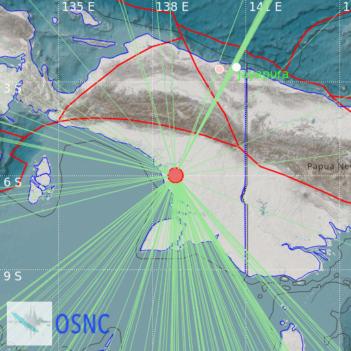
Near South Coast of Irian Jaya
10/04/2025 07:53:23 (UTC) mb 5.9 34 Km

Localisation
- Near South Coast of Irian Jaya
- Latitude : 6 °S
- Longitude : 138.74 °E
- Depth : 34 Km
Description
- Date : 10/04/2025 07:53:23 (UTC)
- Magnitude : 5.9 mb
- Phase count : 123
- RMS residual :1.91
Distance to nearest cities
- 174 kms of Tanah Merah
- 242 kms of Oksibil
- 261 kms of Timika
- 273 kms of Kuala Kencana
- 276 kms of Tembagapura
- 280 kms of Ok Tedi mine

