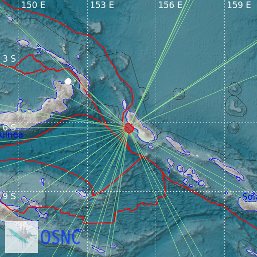
Solomon Islands
23/02/2025 22:50:13 (UTC) mb 5.2 40 Km

Localisation
- Solomon Islands
- Latitude : 6.26 °S
- Longitude : 154.8 °E
- Depth : 40 Km
Description
- Date : 23/02/2025 22:50:13 (UTC)
- Magnitude : 5.2 mb
- Phase count : 24
- RMS residual :2.02
Distance to nearest cities
- 93 kms of Buka
- 93 kms of Kokopao
- 304 kms of Ghizo
- 352 kms of Kokopo
- 370 kms of Rabaul
- 389 kms of Namatanai

