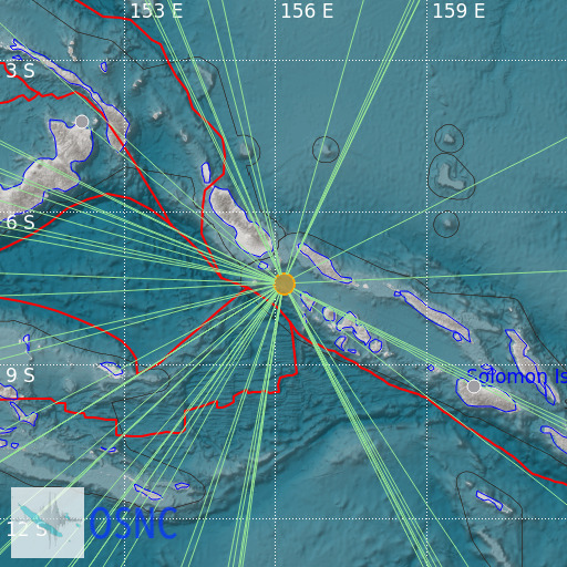
Solomon Islands
23/02/2025 01:31:54 (UTC) mb 5.2 67 Km

Localisation
- Solomon Islands
- Latitude : 7.4 °S
- Longitude : 156.15 °E
- Depth : 67 Km
Description
- Date : 23/02/2025 01:31:54 (UTC)
- Magnitude : 5.2 mb
- Phase count : 43
- RMS residual :1.99
Distance to nearest cities
- 109 kms of Ghizo
- 272 kms of Kokopao
- 273 kms of Buka
- 388 kms of Buala
- 475 kms of Honiara
- 479 kms of Tulagi

