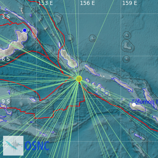
Solomon Islands
22/02/2025 22:21:06 (UTC) mb 5 142 Km

Localisation
- Solomon Islands
- Latitude : 7.63 °S
- Longitude : 156.03 °E
- Depth : 142 Km
Description
- Date : 22/02/2025 22:21:06 (UTC)
- Magnitude : 5 mb
- Phase count : 45
- RMS residual :2.39
Distance to nearest cities
- 104 kms of Ghizo
- 286 kms of Kokopao
- 287 kms of Buka
- 396 kms of Buala
- 476 kms of Honiara
- 482 kms of Tulagi

