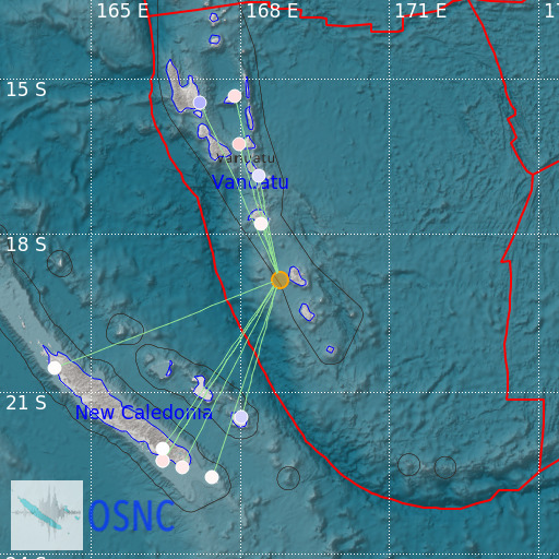
Vanuatu Islands
21/02/2025 12:12:28 (UTC) MLv 4.4 71 Km

Localisation
- Vanuatu Islands
- Latitude : 18.86 °S
- Longitude : 168.79 °E
- Depth : 71 Km
Description
- Date : 21/02/2025 12:12:28 (UTC)
- Magnitude : 4.4 MLv
- Phase count : 12
- RMS residual :0.85
Distance to nearest cities
- 90 kms of Lénakel
- 134 kms of Port Vila
- 263 kms of Hnanemuhaetra
- 263 kms of Tingeting
- 265 kms of Hnacaom
- 266 kms of Jokin

