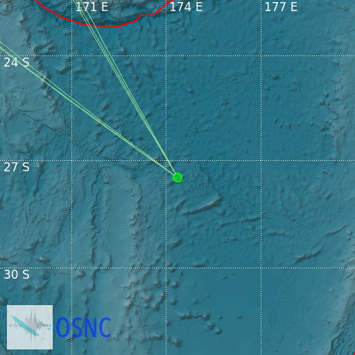
North of New Zealand
20/02/2025 15:09:55 (UTC) mb 3.8 342 Km

Localisation
- North of New Zealand
- Latitude : 27.48 °S
- Longitude : 174.36 °E
- Depth : 342 Km
Description
- Date : 20/02/2025 15:09:55 (UTC)
- Magnitude : 3.8 mb
- Phase count : 6
- RMS residual :0.33
Distance to nearest cities
- 651 kms of Burnt Pine
- 838 kms of Mangonui
- 854 kms of Kaitaia
- 862 kms of Kerikeri
- 865 kms of Russell
- 878 kms of Kawakawa

