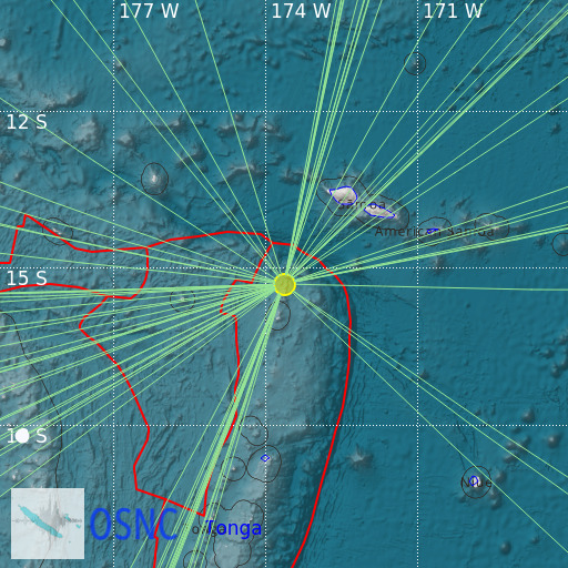
Tonga Islands
20/02/2025 10:31:23 (UTC) mb 5.2 160 Km

Localisation
- Tonga Islands
- Latitude : 15.32 °S
- Longitude : 173.64 °W
- Depth : 160 Km
Description
- Date : 20/02/2025 10:31:23 (UTC)
- Magnitude : 5.2 mb
- Phase count : 60
- RMS residual :2.17
Distance to nearest cities
- 234 kms of Falelatai
- 235 kms of Salelavalu
- 236 kms of Falease'ela
- 237 kms of Lalomavoa
- 240 kms of Fusi
- 241 kms of Safotulafai

