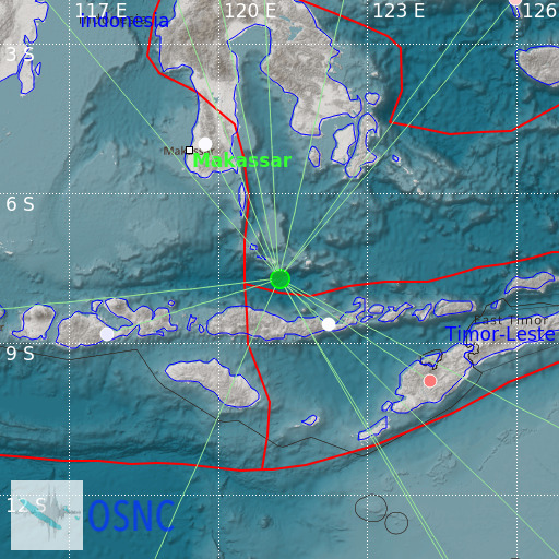
Flores Sea
18/02/2025 04:33:24 (UTC) mb 4.8 587 Km

Localisation
- Flores Sea
- Latitude : 7.72 °S
- Longitude : 121.23 °E
- Depth : 587 Km
Description
- Date : 18/02/2025 04:33:24 (UTC)
- Magnitude : 4.8 mb
- Phase count : 15
- RMS residual :1.83
Distance to nearest cities
- 81 kms of Riung
- 122 kms of Bajawa
- 129 kms of Hombel
- 129 kms of Kumba
- 129 kms of Wae Buka
- 130 kms of Nekang

