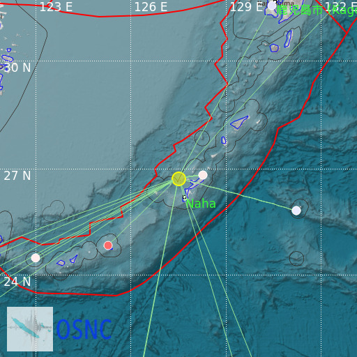
Ryukyu Islands, Japan
17/02/2025 04:04:15 (UTC) mb 5.3 131 Km

Localisation
- Ryukyu Islands, Japan
- Latitude : 26.74 °N
- Longitude : 127.5 °E
- Depth : 131 Km
Description
- Date : 17/02/2025 04:04:15 (UTC)
- Magnitude : 5.3 mb
- Phase count : 16
- RMS residual :1.72
Distance to nearest cities
- 41 kms of Motobu
- 49 kms of Kadena
- 50 kms of Nago
- 53 kms of Kin
- 54 kms of Chatan
- 54 kms of Okinawa

