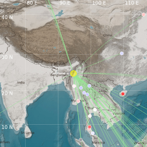
Myanmar-India Border Region
23/01/2025 19:23:32 (UTC) mb 5.4 125 Km

Localisation
- Myanmar-India Border Region
- Latitude : 24.84 °N
- Longitude : 94.71 °E
- Depth : 125 Km
Description
- Date : 23/01/2025 19:23:32 (UTC)
- Magnitude : 5.4 mb
- Phase count : 51
- RMS residual :1.88
Distance to nearest cities
- 20 kms of Kamjong
- 21 kms of Homalin
- 46 kms of Ukhrul
- 78 kms of Moreh
- 79 kms of Imphal
- 81 kms of Tamu

