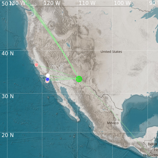
Eastern Arizona
15/12/2024 19:06:47 (UTC) mb 4.9 582 Km

Localisation
- Eastern Arizona
- Latitude : 33.5 °N
- Longitude : 109.52 °W
- Depth : 582 Km
Description
- Date : 15/12/2024 19:06:47 (UTC)
- Magnitude : 4.9 mb
- Phase count : 12
- RMS residual :2.43
Distance to nearest cities
- 74 kms of Reserve
- 96 kms of Show Low
- 113 kms of St. Johns
- 124 kms of Snowflake
- 141 kms of Silver City
- 142 kms of Willcox

