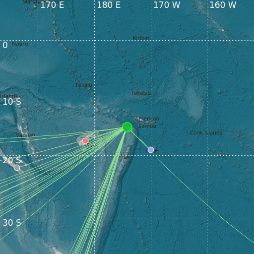
Tonga Islands
04/12/2024 07:42:52 (UTC) mb 5.2 267 Km

Localisation
- Tonga Islands
- Latitude : 15.17 °S
- Longitude : 174.23 °W
- Depth : 267 Km
Description
- Date : 04/12/2024 07:42:52 (UTC)
- Magnitude : 5.2 mb
- Phase count : 22
- RMS residual :2.61
Distance to nearest cities
- 271 kms of Salelavalu
- 272 kms of Lalomavoa
- 275 kms of Falelatai
- 275 kms of Fusi
- 276 kms of Manase
- 276 kms of Safotulafai

