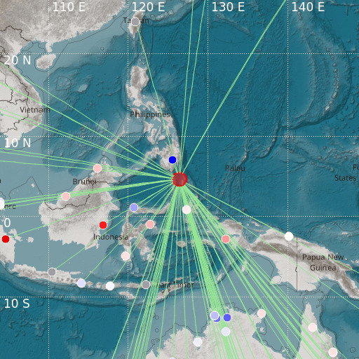
Talaud Islands, Indonesia
03/12/2024 16:09:16 (UTC) mb 5.4 38 Km

Localisation
- Talaud Islands, Indonesia
- Latitude : 4.65 °N
- Longitude : 126.43 °E
- Depth : 38 Km
Description
- Date : 03/12/2024 16:09:16 (UTC)
- Magnitude : 5.4 mb
- Phase count : 81
- RMS residual :2.25
Distance to nearest cities
- 143 kms of Sarangani
- 166 kms of Jose Abad Santos
- 188 kms of Glan
- 189 kms of Malapatan
- 191 kms of Don Marcelino
- 204 kms of Alabel

