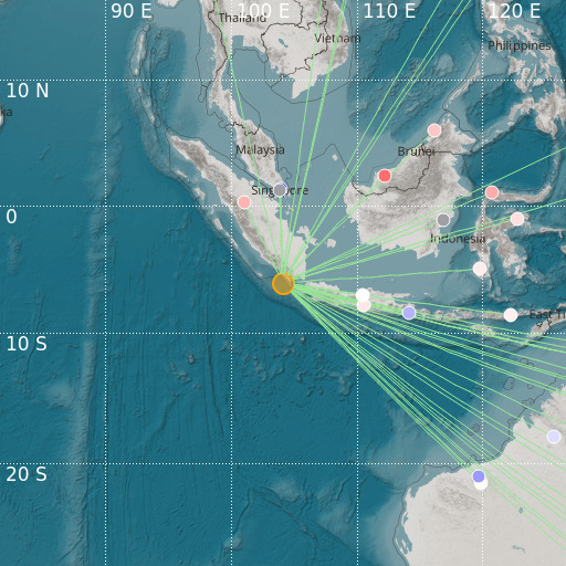
Sunda Strait, Indonesia
14/11/2024 19:08:16 (UTC) mb 5.2 100 Km

Localisation
- Sunda Strait, Indonesia
- Latitude : 6.08 °S
- Longitude : 104.11 °E
- Depth : 100 Km
Description
- Date : 14/11/2024 19:08:16 (UTC)
- Magnitude : 5.2 mb
- Phase count : 37
- RMS residual :2.37
Distance to nearest cities
- 86 kms of Kotaagung
- 116 kms of Pasar Liwa
- 146 kms of Bandar Lampung
- 172 kms of Muaradua
- 202 kms of Anyer
- 210 kms of Merak

