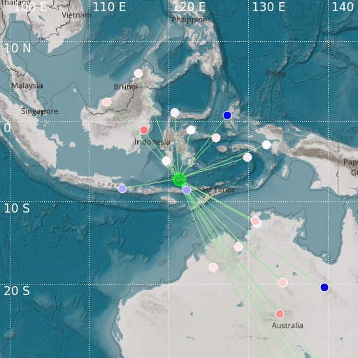
Flores Sea
14/11/2024 15:42:51 (UTC) mb 4.7 564 Km

Localisation
- Flores Sea
- Latitude : 7.21 °S
- Longitude : 121.25 °E
- Depth : 564 Km
Description
- Date : 14/11/2024 15:42:51 (UTC)
- Magnitude : 4.7 mb
- Phase count : 27
- RMS residual :2.12
Distance to nearest cities
- 136 kms of Riung
- 177 kms of Kumba
- 177 kms of Wae Buka
- 178 kms of Bajawa
- 178 kms of Hombel
- 178 kms of Nekang

