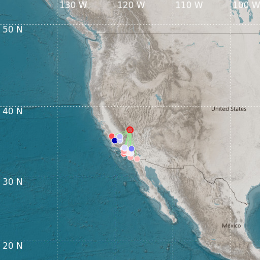
California-Nevada Border Region
25/10/2024 07:55:45 (UTC) MLv 3.8 31 Km

Localisation
- California-Nevada Border Region
- Latitude : 36.81 °N
- Longitude : 117.39 °W
- Depth : 31 Km
Description
- Date : 25/10/2024 07:55:45 (UTC)
- Magnitude : 3.8 MLv
- Phase count : 19
- RMS residual :2.24
Distance to nearest cities
- 93 kms of Amargosa Valley
- 101 kms of Goldfield
- 108 kms of Bishop
- 134 kms of Ridgecrest
- 141 kms of Tonopah
- 142 kms of Pahrump

