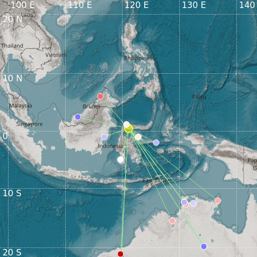
Minahassa Peninsula, Sulawesi
20/10/2024 05:24:48 (UTC) mb 4.7 115 Km

Localisation
- Minahassa Peninsula, Sulawesi
- Latitude : 0.47 °N
- Longitude : 121.07 °E
- Depth : 115 Km
Description
- Date : 20/10/2024 05:24:48 (UTC)
- Magnitude : 4.7 mb
- Phase count : 20
- RMS residual :2.1
Distance to nearest cities
- 160 kms of Ampana
- 202 kms of Palu
- 221 kms of Gorontalo
- 352 kms of Luwu Utara
- 362 kms of Kotamobago
- 397 kms of Amurang

