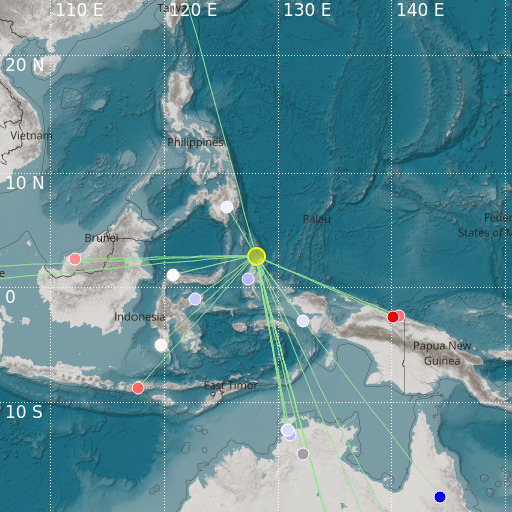
Halmahera, Indonesia
03/10/2024 20:53:44 (UTC) mb 4.8 182 Km

Localisation
- Halmahera, Indonesia
- Latitude : 2.8 °N
- Longitude : 128.07 °E
- Depth : 182 Km
Description
- Date : 03/10/2024 20:53:44 (UTC)
- Magnitude : 4.8 mb
- Phase count : 19
- RMS residual :2.39
Distance to nearest cities
- 120 kms of Tobelo
- 237 kms of Kota Ternate
- 353 kms of Bitung
- 360 kms of Girian
- 375 kms of Airmadidi
- 387 kms of Manado

