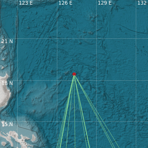
East of Philippine Islands
03/08/2024 01:35:51 (UTC) M 0 5 Km

Localisation
- East of Philippine Islands
- Latitude : 18.47 °N
- Longitude : 127.29 °E
- Depth : 5 Km
Description
- Date : 03/08/2024 01:35:51 (UTC)
- Magnitude : 0 M
- Phase count : 15
- RMS residual :2.48
Distance to nearest cities
- 533 kms of Santa Ana
- 538 kms of Palanan
- 543 kms of Divilican
- 546 kms of Gonzaga
- 547 kms of Maconacon
- 567 kms of Peñablanca

