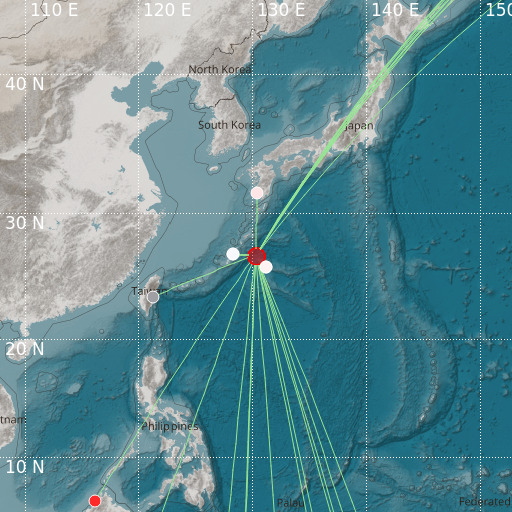
Southeast of Ryukyu Islands
17/06/2024 04:47:22 (UTC) mb 4.8 43 Km

Localisation
- Southeast of Ryukyu Islands
- Latitude : 26.73 °N
- Longitude : 130.29 °E
- Depth : 43 Km
Description
- Date : 17/06/2024 04:47:22 (UTC)
- Magnitude : 4.8 mb
- Phase count : 23
- RMS residual :2.61
Distance to nearest cities
- 168 kms of 徳之島町 (Tokunoshima)
- 170 kms of 伊仙町 (Isen)
- 179 kms of 和泊町 (Wadomari)
- 180 kms of 喜界町 (Kikai)
- 183 kms of 天城町 (Amagi)
- 184 kms of 知名町 (China)

