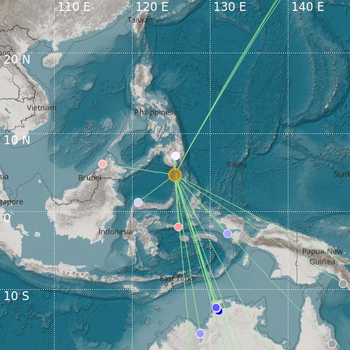
Talaud Islands, Indonesia
16/06/2024 11:49:03 (UTC) mb 4.9 92 Km

Localisation
- Talaud Islands, Indonesia
- Latitude : 4.69 °N
- Longitude : 125.47 °E
- Depth : 92 Km
Description
- Date : 16/06/2024 11:49:03 (UTC)
- Magnitude : 4.9 mb
- Phase count : 17
- RMS residual :2.55
Distance to nearest cities
- 79 kms of Sarangani
- 129 kms of Glan
- 138 kms of Jose Abad Santos
- 145 kms of Malapatan
- 150 kms of Maasim
- 162 kms of Alabel

