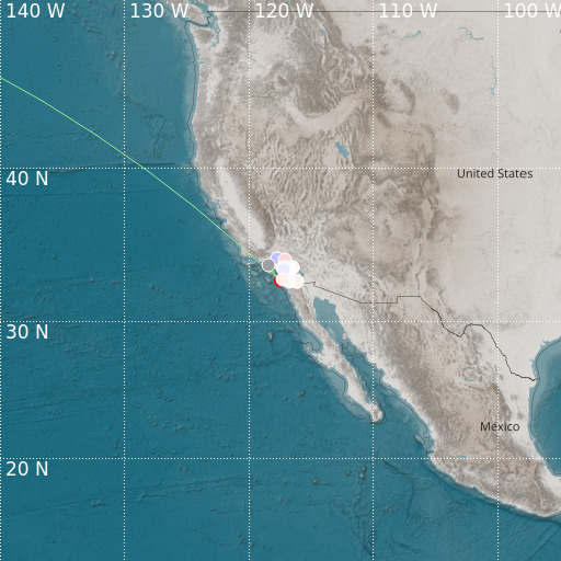
Calif.-Baja Calif. Border Region
08/03/2024 21:09:40 (UTC) MLv 3.3 18 Km

Localisation
- Calif.-Baja Calif. Border Region
- Latitude : 32.78 °N
- Longitude : 117.45 °W
- Depth : 18 Km
Description
- Date : 08/03/2024 21:09:40 (UTC)
- Magnitude : 3.3 MLv
- Phase count : 25
- RMS residual :0.65
Distance to nearest cities
- 23 kms of San Diego
- 27 kms of Coronado
- 29 kms of Solana Beach
- 32 kms of Encinitas
- 35 kms of National City
- 38 kms of Chula Vista

