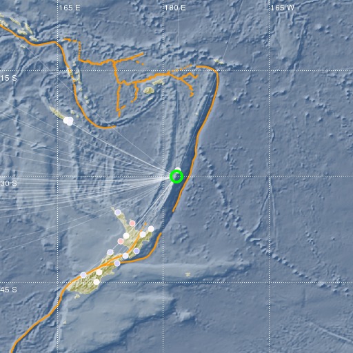
Kermadec Islands, New Zealand
06/06/2018 04:07:59 (UTC) mb 4.6 400 Km

Localisation
- Kermadec Islands, New Zealand
- Latitude : 30.03 °S
- Longitude : 178.12 °O
- Profondeur : 400 Km
Description
- Date : 06/06/2018 04:07:59 (UTC)
- Magnitude : 4.6 mb
- Nombre de phases : 51
- RMS résiduel :0.79
Distances des villes les plus proches
- 87 Km de Raoul island
- 948 Km de Whangarei
- 990 Km de Whakatane
- 1001 Km de North Shore
- 1002 Km de Tauranga
- 1004 Km de Auckland

