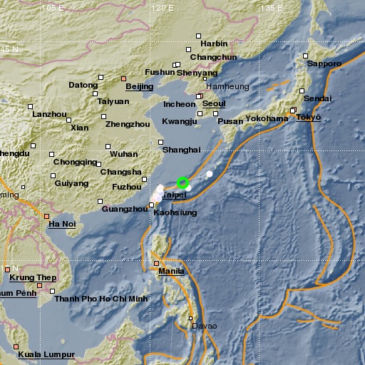
Northeast of Taiwan
19/11/2017 21:12:07 (UTC) MLv 3.9 278 Km

Localisation
- Northeast of Taiwan
- Latitude : 25.69 °N
- Longitude : 124.49 °E
- Profondeur : 278 Km
Description
- Date : 19/11/2017 21:12:07 (UTC)
- Magnitude : 3.9 MLv
- Nombre de phases : 8
- RMS résiduel :0.68
Distances des villes les plus proches
- 128 Km de Hirara
- 154 Km de Ishigaki
- 277 Km de Juifang
- 284 Km de Keelung
- 285 Km de Toucheng
- 293 Km de Hsichih

