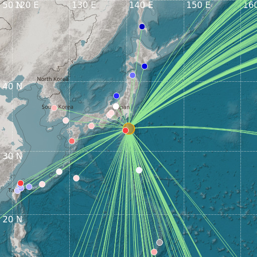
Localisation
- Southeast of Honshu, Japan
- Latitude : 33.42 °N
- Longitude : 140.33 °E
- Profondeur : 85 Km
Description
- Date : 18/07/2024 11:07:35 (UTC)
- Magnitude : 6.1 mb
- Nombre de phases : 190
- RMS résiduel :1.39
Distances des villes les plus proches
- 62 Km de Hachijo
- 156 Km de Toshima
- 173 Km de Oshima
- 179 Km de 館山市 (Tateyama)
- 185 Km de 南房総市 (Minamiboso)
- 190 Km de Shimoda