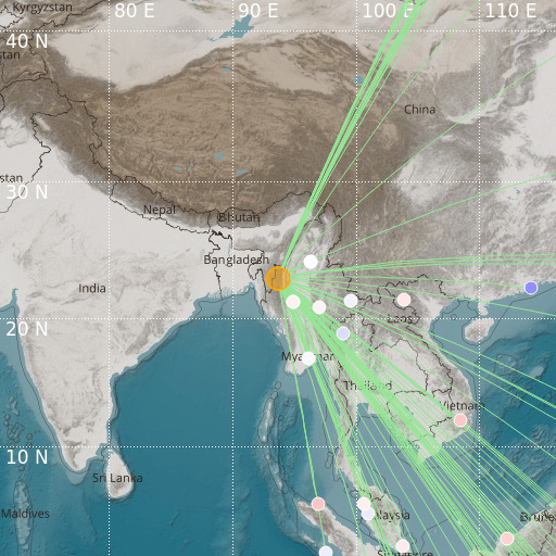
Myanmar-India Border Region
21/01/2022 10:12:32 (UTC) mb 5.7 78 Km

Localisation
- Myanmar-India Border Region
- Latitude : 23.04 °N
- Longitude : 93.66 °E
- Depth : 78 Km
Description
- Date : 21/01/2022 10:12:32 (UTC)
- Magnitude : 5.7 mb
- Phase count : 100
- RMS residual :2.16
Distance to nearest cities
- 40 kms of Kalaymyo
- 45 kms of Rihkhawdar
- 46 kms of Zokhawthar
- 58 kms of Champhai
- 93 kms of Saiha
- 95 kms of Lunglei

