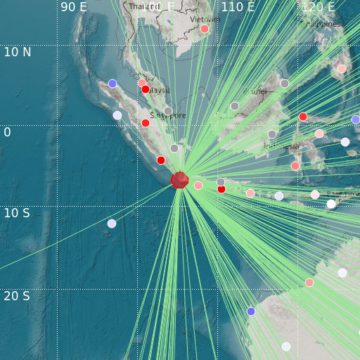
Sunda Strait, Indonesia
14/01/2022 09:05:39 (UTC) Mw(Mw 6.2 10 Km

Localisation
- Sunda Strait, Indonesia
- Latitude : 6.76 °S
- Longitude : 105.32 °E
- Depth : 10 Km
Description
- Date : 14/01/2022 09:05:39 (UTC)
- Magnitude : 6.2 Mw(Mw
- Phase count : 213
- RMS residual :1.43
Distance to nearest cities
- 100 kms of Pandeglang
- 106 kms of Anyer
- 112 kms of Rangkasbitung
- 116 kms of Cilegon
- 116 kms of Serang
- 119 kms of Merak

