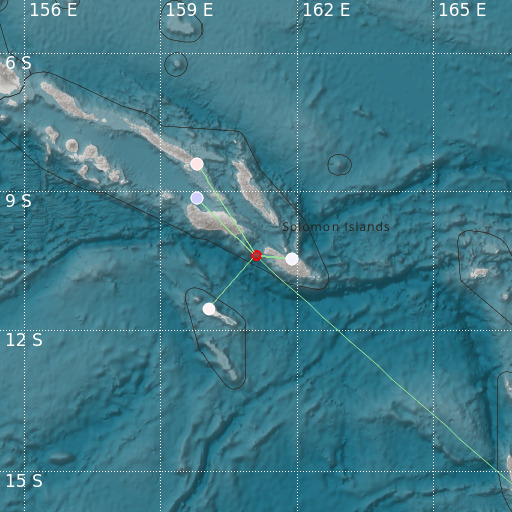
Solomon Islands
29/11/2021 15:11:39 (UTC) MLv 2.9 0 Km

Localisation
- Solomon Islands
- Latitude : 10.39 °S
- Longitude : 161.09 °E
- Depth : 0 Km
Description
- Date : 29/11/2021 15:11:39 (UTC)
- Magnitude : 2.9 MLv
- Phase count : 7
- RMS residual :0.65
Distance to nearest cities
- 77 kms of Marakuru
- 79 kms of Kolohaumbi
- 116 kms of Aola
- 164 kms of Honiara
- 176 kms of Tulagi
- 185 kms of Auki

