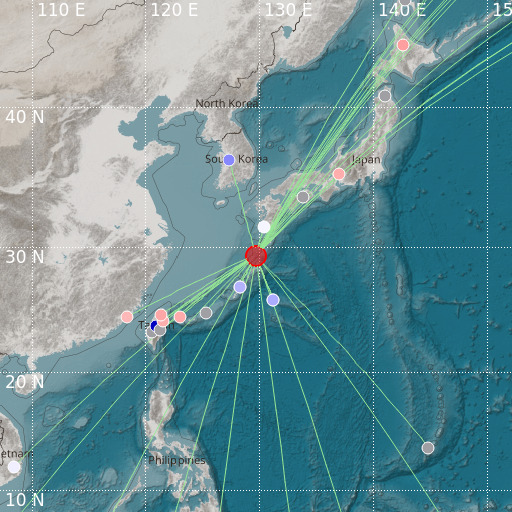
Ryukyu Islands, Japan
09/04/2021 22:07:33 (UTC) mb 5.3 42 Km

Localisation
- Ryukyu Islands, Japan
- Latitude : 29.31 °N
- Longitude : 129.68 °E
- Depth : 42 Km
Description
- Date : 09/04/2021 22:07:33 (UTC)
- Magnitude : 5.3 mb
- Phase count : 27
- RMS residual :2.07
Distance to nearest cities
- 100 kms of 龍郷町 (Tatsugo)
- 105 kms of 奄美市 (Amami)
- 113 kms of 喜界町 (Kikai)
- 134 kms of 瀬戸内町 (Setouchi)
- 146 kms of Anbō
- 151 kms of Miyanoura

