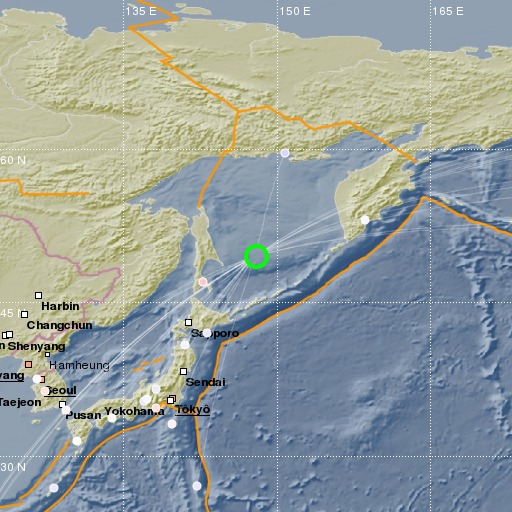
Sea of Okhotsk
20/01/2021 16:00:41 (UTC) mb 5.4 569 Km

Localisation
- Sea of Okhotsk
- Latitude : 49.58 °N
- Longitude : 147.92 °E
- Depth : 569 Km
Description
- Date : 20/01/2021 16:00:41 (UTC)
- Magnitude : 5.4 mb
- Phase count : 32
- RMS residual :0.76
Distance to nearest cities
- 351 kms of Poronajsk
- 481 kms of Juzhno-Sahalinsk
- 503 kms of Korsakov
- 517 kms of Holmsk
- 553 kms of Nevelsk
- 558 kms of Sovetskaja Gavan

