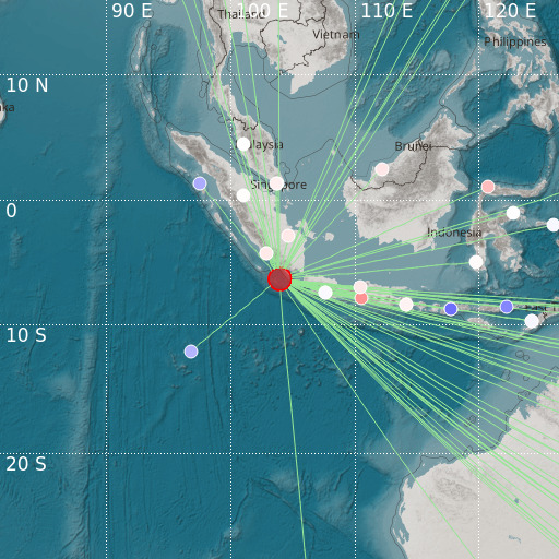
Southwest of Sumatra, Indonesia
16/01/2021 09:26:43 (UTC) mb 5.7 49 Km

Localisation
- Southwest of Sumatra, Indonesia
- Latitude : 6.39 °S
- Longitude : 103.92 °E
- Depth : 49 Km
Description
- Date : 16/01/2021 09:26:43 (UTC)
- Magnitude : 5.7 mb
- Phase count : 73
- RMS residual :1.11
Distance to nearest cities
- 126 kms of Kotaagung
- 151 kms of Pasar Liwa
- 182 kms of Bandar Lampung
- 207 kms of Muaradua
- 226 kms of Anyer
- 235 kms of Merak

